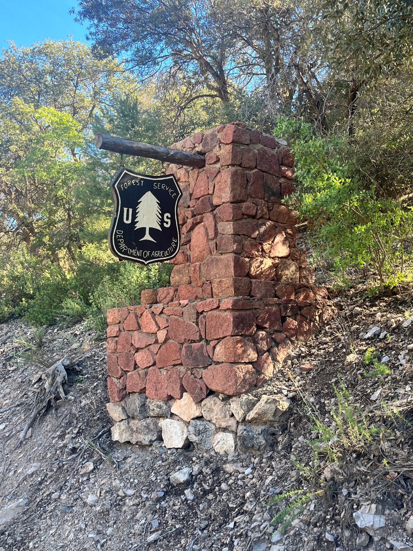
Apache-Sitgreaves Clifton Ranger District
The southern management district of the Apache-Sitgreaves National Forests, covering rugged canyons, rivers, forest roads and recreation sites accessible from Greenlee County.
At a Glance
Outdoor Type
Public Lands Region
Season
Year-round, Elevation-dependent conditions
Access
Check current forest alerts
Overview
The Clifton Ranger District is the low-elevation southern gateway to the Apache-Sitgreaves National Forests, whose landscapes rise from roughly 3,500 feet on the district toward the high White Mountains. The district includes remote forest roads, campgrounds, river and stream corridors, hiking and horseback routes, and access to portions of the Blue Range country. It is an important source for current recreation-site status, fire restrictions, road information and forest alerts affecting visitors traveling north from Clifton on the Coronado Trail.
Safety
Route & Practical Details
Access Notes
Recreation lands in the Clifton Ranger District are reached from Clifton, US 191/Coronado Trail and connecting forest roads. Use the Forest Service district page and current alerts to plan access to a specific destination.
Take the Next Step
Location
Gallery
Connected to This Community
Nearest Community
Information You Can Verify
10/11/2026
For current schedules, eligibility, closures, prices, and program details, use the official source linked on this page.
Help Keep LiveGreenlee Useful
Share local knowledge, suggest an addition, contribute a photo, or report information that needs correction. Submissions are reviewed before publication.