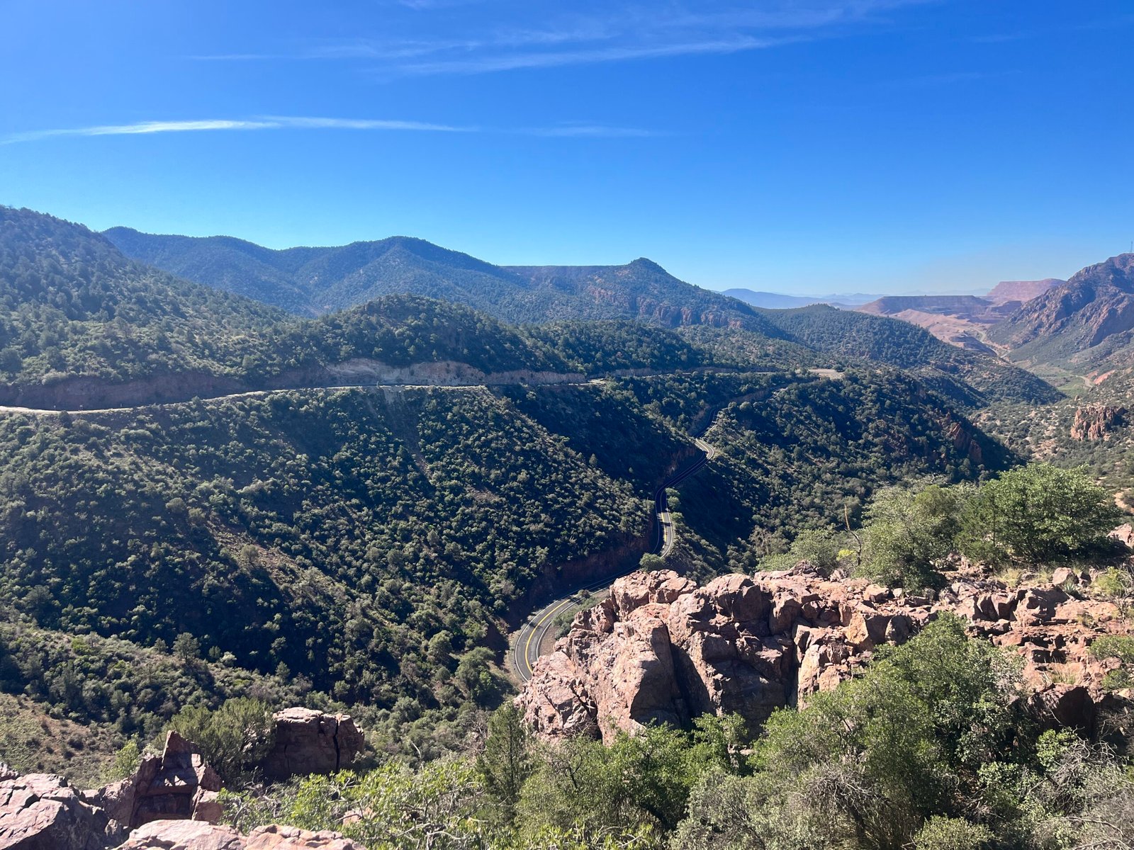
Coronado Trail National Scenic Byway
A 123-mile National Scenic Byway on US 191 between Clifton and the White Mountains, known for dramatic elevation changes, hundreds of curves, forest scenery and remote mountain driving.
At a Glance
Outdoor Type
Scenic Drive
Season
Year-round, Elevation-dependent conditions, Winter caution
Difficulty
Moderate
Access
Open subject to road and weather conditions
Duration
4-6 hours
Fees
No fee to drive the byway; individual campgrounds and recreation sites may charge fees.
Overview
The Coronado Trail National Scenic Byway climbs from the desert canyons around Clifton into the high forests and meadows of the Apache-Sitgreaves National Forests. The Federal Highway Administration lists the byway at 123 miles and recommends allowing about four to five hours of driving time. The route is exceptionally winding and remote, with few services between communities, so travelers should start with adequate fuel, water and time. Weather can change rapidly with elevation, and winter conditions can affect the high-country portions of the road.
Safety
Route & Practical Details
Distance
123
Route Type
Point-to-point drive
Access Notes
Coronado Trail National Scenic Byway, Arizona
Take the Next Step
Location
Location
Gallery
Connected to This Community
Nearest Community
Help Keep LiveGreenlee Useful
Share local knowledge, suggest an addition, contribute a photo, or report information that needs correction. Submissions are reviewed before publication.